

 0
0

 Free Delivery on all orders!
 The Rackhams Guarantee
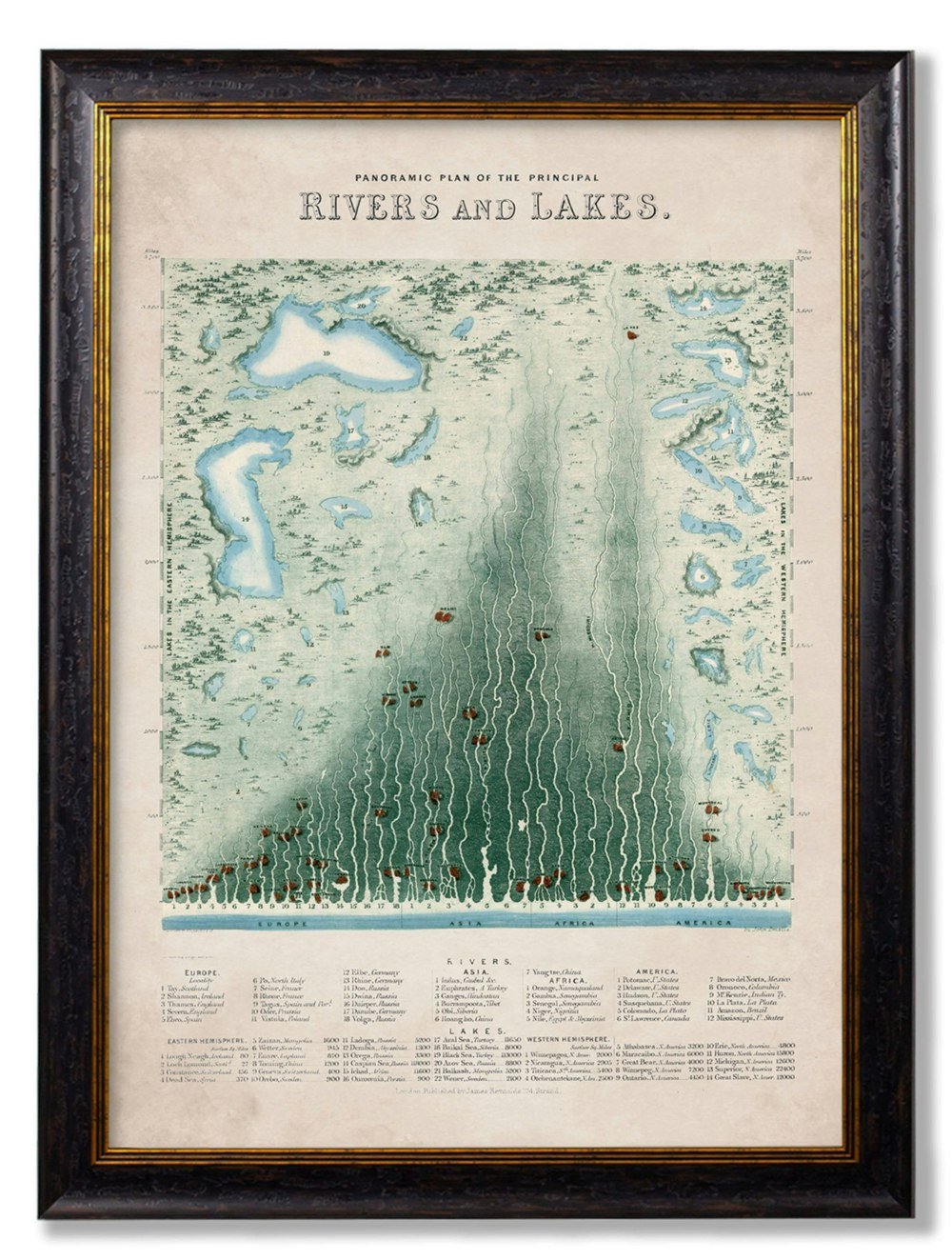
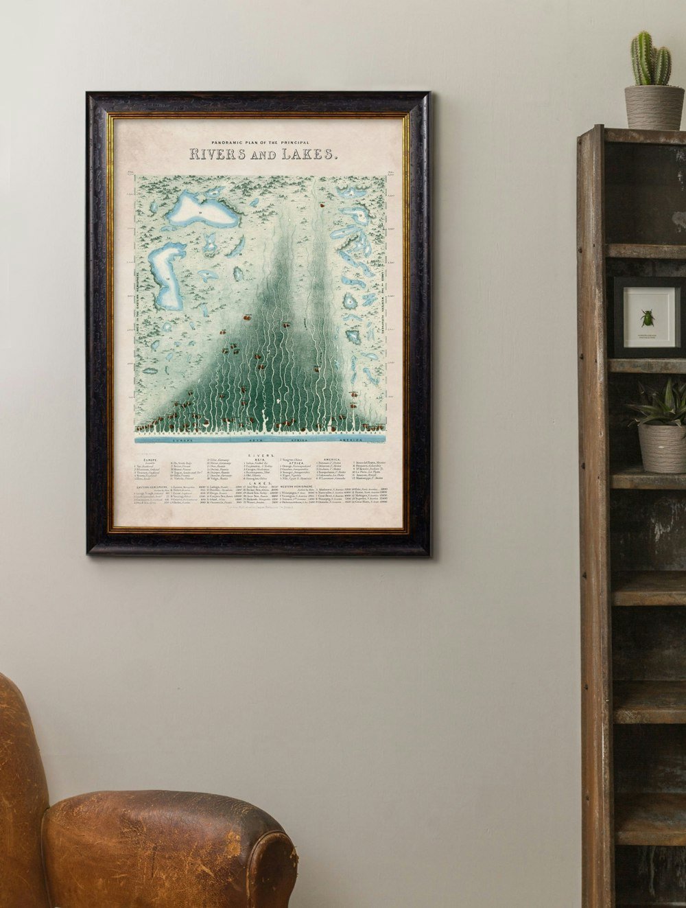
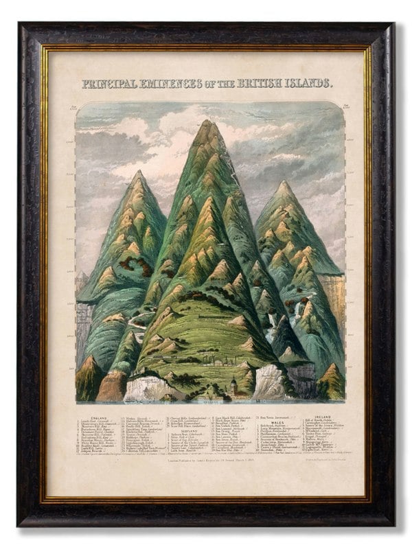
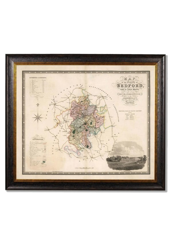
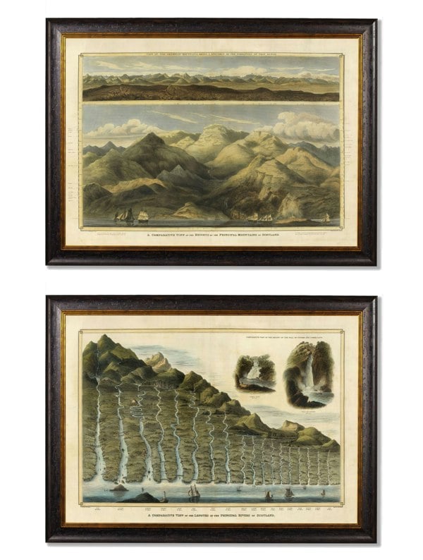
Exceptional Art c.1852 Panoramic Plan of the Principal Rivers and Lakes
Visit the Exceptional Art store£279.99


Fast & Free Delivery *

Sold by RackhamsBacked by the Rackhams Guarantee

UK Customer Support
Rated Excellent by Customers on Google
Drawn from a mid-19th century original, the Exceptional Art Panoramic Plan of the Principal Rivers and Lakes wall art brings together a richly detailed chart of the world’s major rivers and lakes in a striking panoramic format. Continents are organised clearly, river lengths are marked along the side, and the lower section lists lakes and rivers by hemisphere and continent, giving the piece both decorative presence and historical character.
Exceptional Art has digitally remastered the original print in its Lancashire studio, restoring the bright hand-coloured look associated with the period design. Printed and framed using archival methods, this framed print is mounted in a sustainable wood frame and arrives ready to hang, making it a considered choice for a study, home office, hallway or living space. Each piece is hand cut, printed and assembled in Britain.
Key features
- Digitally remastered from a mid-19th century original print
- Panoramic chart showing the principal rivers and lakes of the world
- Printed and framed using archival methods
- Mounted in a sustainable wood frame
- Ready to hang
Please note: Colours shown are as accurate as possible, though may vary slightly depending on your screen settings.
Rackhams Reference : P8TUKWDTI6
Type
Framed Print
Size
70 x 95cm
Frame Colour
Oxford
This product is sold by Rackhams and delivered directly from our supplier.
Rackhams brings together a curated group of trusted partners so you can shop a wider range of premium products in one place — all backed and guaranteed by Rackhams.
We remain your single point of contact for every order, managing your experience from checkout through to delivery and after-sales support.
Learn more about the Rackhams Guarantee.
Save 10%
Summer Sale
Hill Interiors Moderno Linen Framed Print - Brown/White/Grey
£253.80
£282.00
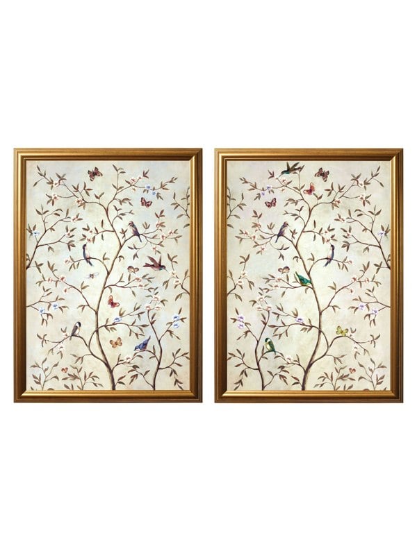
Exceptional Art Tree of Life Natural Set of 2
From £259.99
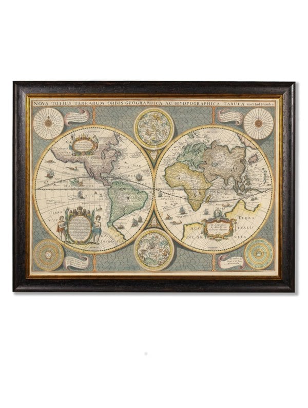
Exceptional Art c.1642 Map of the World
From £279.99
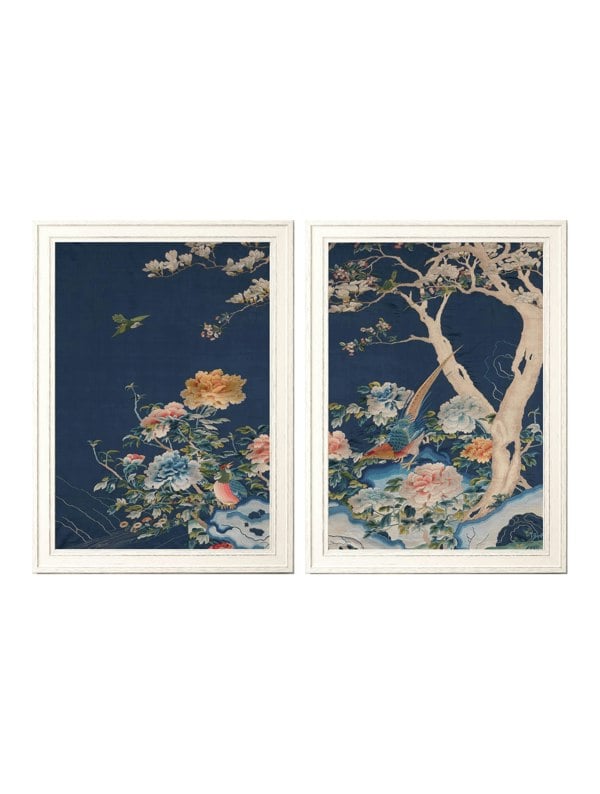
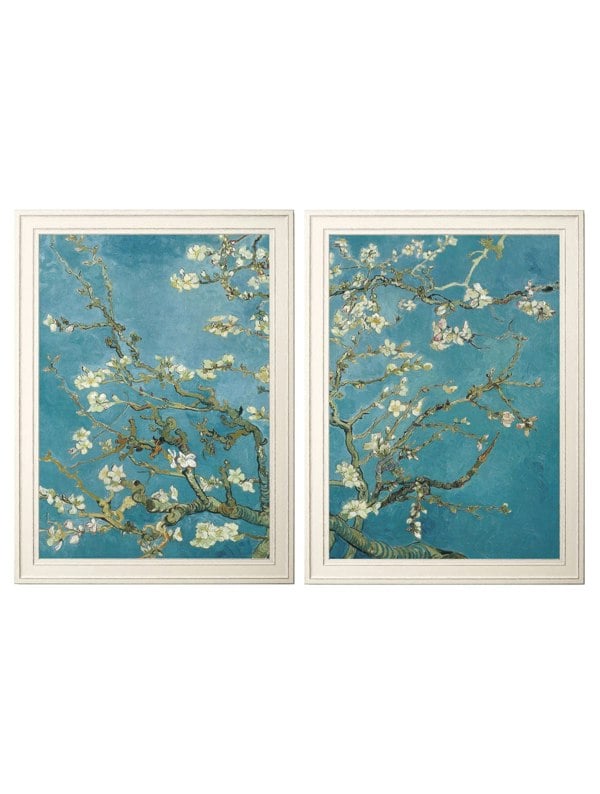
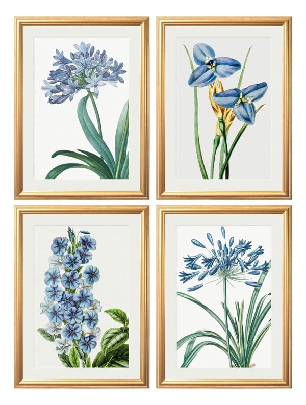
Exceptional Art Blue Blossom Trees Set of 2
From £269.99
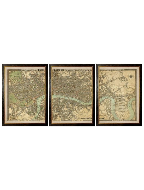
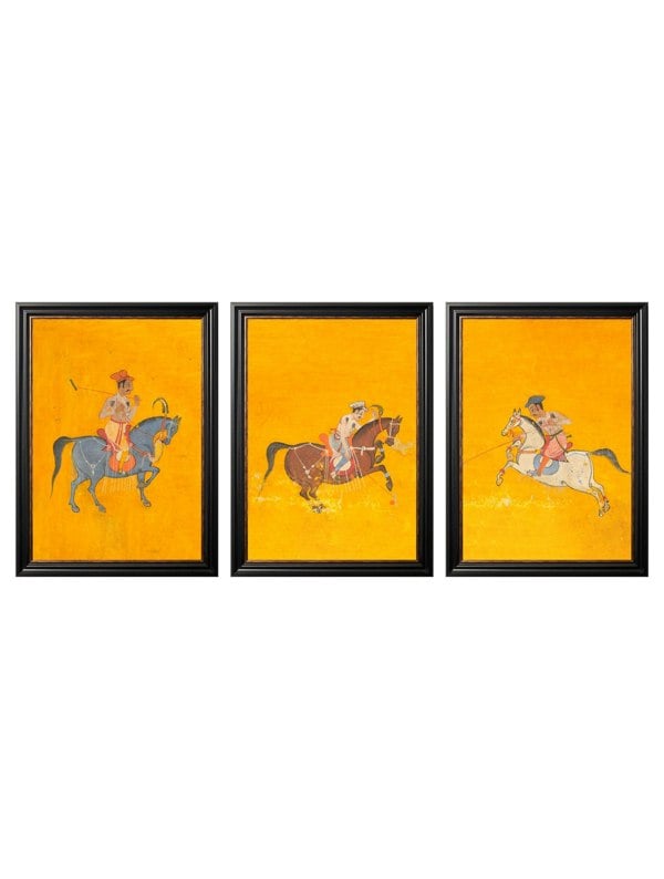
Exceptional Art c.1827 London Triptych Map
From £259.99
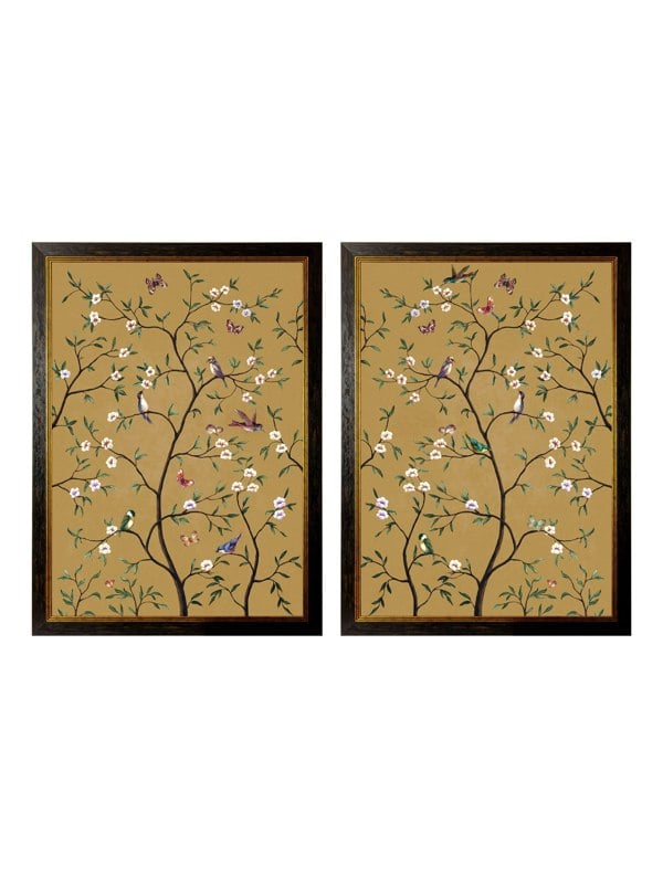
Exceptional Art Tree of Life Ochre Set of 2
From £269.99
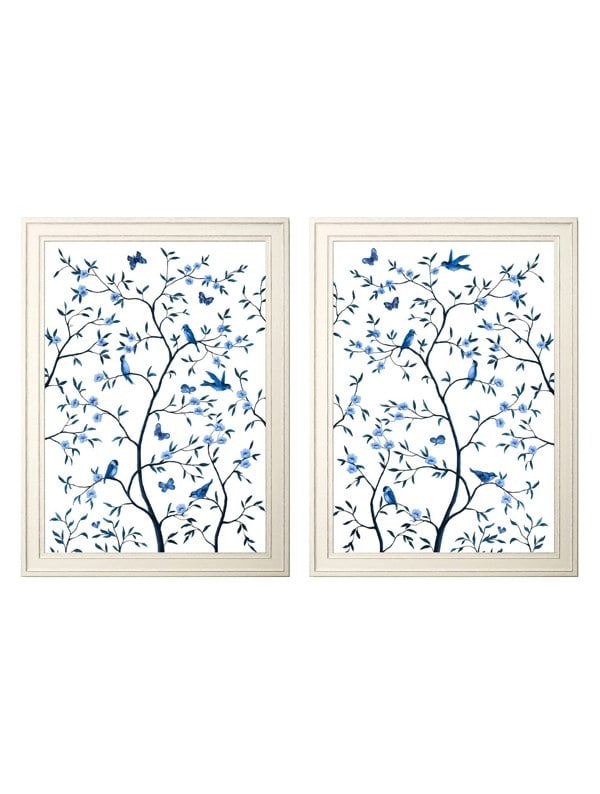
Exceptional Art Tree of Life Blue & White Set of 2
From £269.99
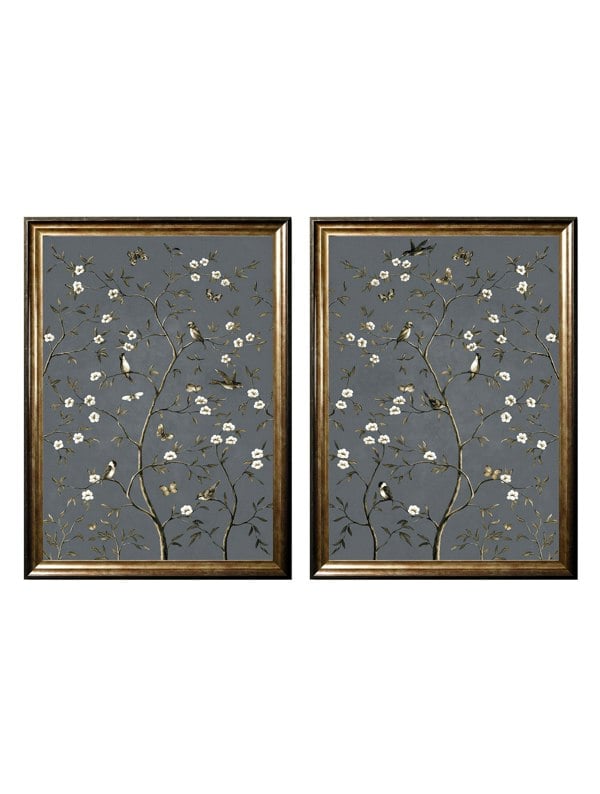
Exceptional Art Tree of Life Grey Set of 2
From £259.99
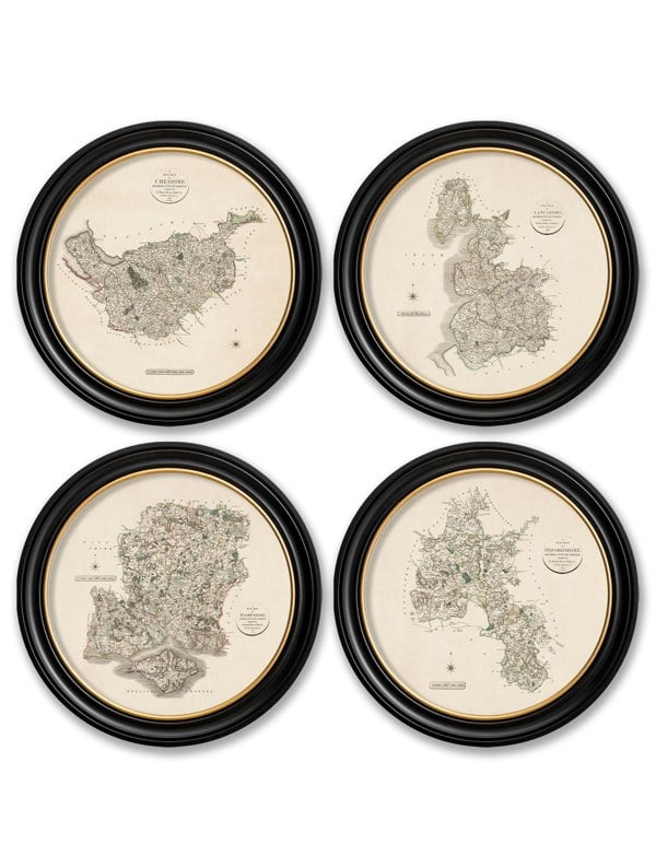
Exceptional Art c.1832 Scottish Rivers and Mountains
From £279.99
Recently viewed
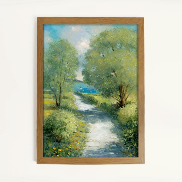
Laura Ashley Country Lane Print in a Wood Frame
From £60.00


Save £2
Summer Sale


Save 10%
Summer Sale
Mala Leather Vintage Football Style Bifold Wallet
£19.35
£21.50

Save 20%
Summer Sale


Save 5%
Summer Sale


Save an extra 20%
Summer Sale
Outsunny 3 Man Camping Tent with 2 Bedrooms, 3000mm Waterproof, Green
£38.39
£47.99 £62.99


Save 10%
Summer Sale
Animal Womens Stockholm Half Zip Fleece Top - Tan
£27.00
£30.00

Save an extra 10%
Summer Sale
Izabel London Diamante Detail Slim Cropped Trousers
£27.00
£30.00 £50.00

Timberland Highsnobiety 3-Eye Lug Boat Shoe Full Grain Dark Red
£135.00
£180.00
© 2026 Rackhams Retail Limited
Follow us


Pay securely with:


* Delivery availability varies depending on post code & time of order, an estimated delivery date will be provided at checkout.
Terms & Conditions Cookie Settings Privacy Policy